D1
Val d’Ese → Capannelle
Crossing from the Ese plateau to the Renoso and Capannelle massif.
Overnight stay · gîte/inn or mountain accommodation in the Capannelle area depending on availability.
14.2 km · D+ 1,394 m · D− 1,332 m
Ski touring journey
About the journey
Who has never dreamt of skiing with the sea in front of them?
The Mediterranean mountains offer that rare contrast between snow and a sea horizon, but snow cover is too unreliable to fix a destination a year ahead. High Atlas, Bulgaria, Turkey, Corsica or the eastern Pyrenees: we will choose the range shortly before departure, wherever conditions are best.
The idea stays the same: a genuine journey from place to place, a region to travel through and people to meet.
Information
The plans
From the High Atlas to the Balkans, from the Taurus to Corsica and the eastern Pyrenees, each line is worked upstream. A few days before departure, the snow and the weather will decide which one will be skied.
Plan A
Alta Strada
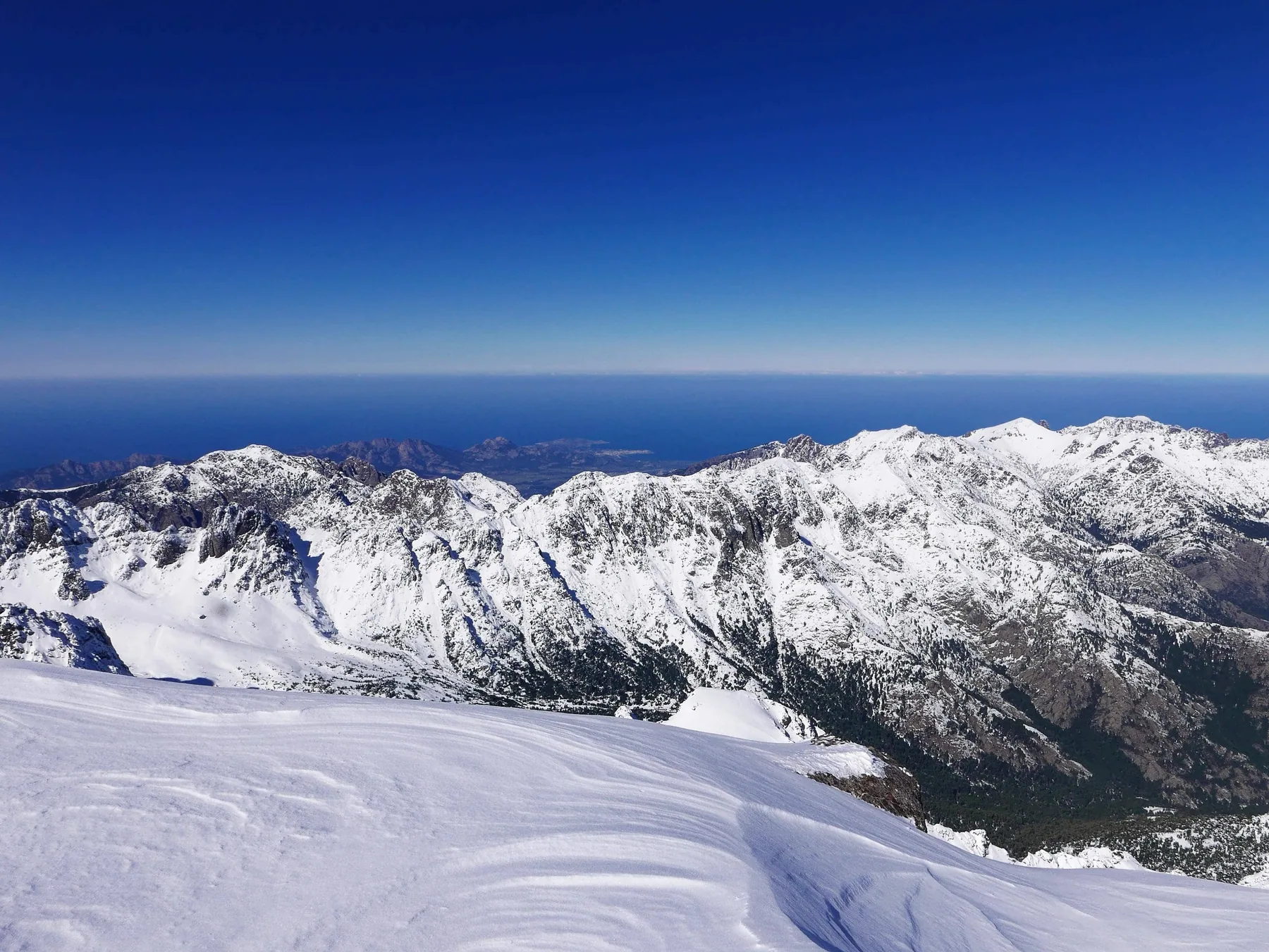
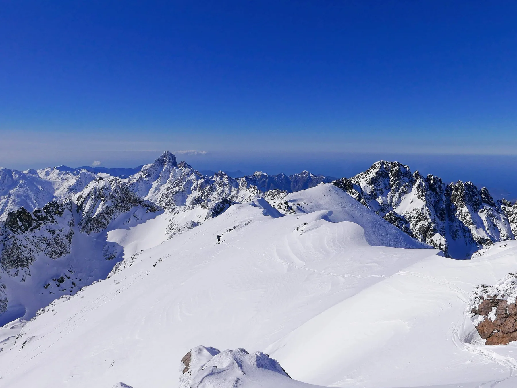
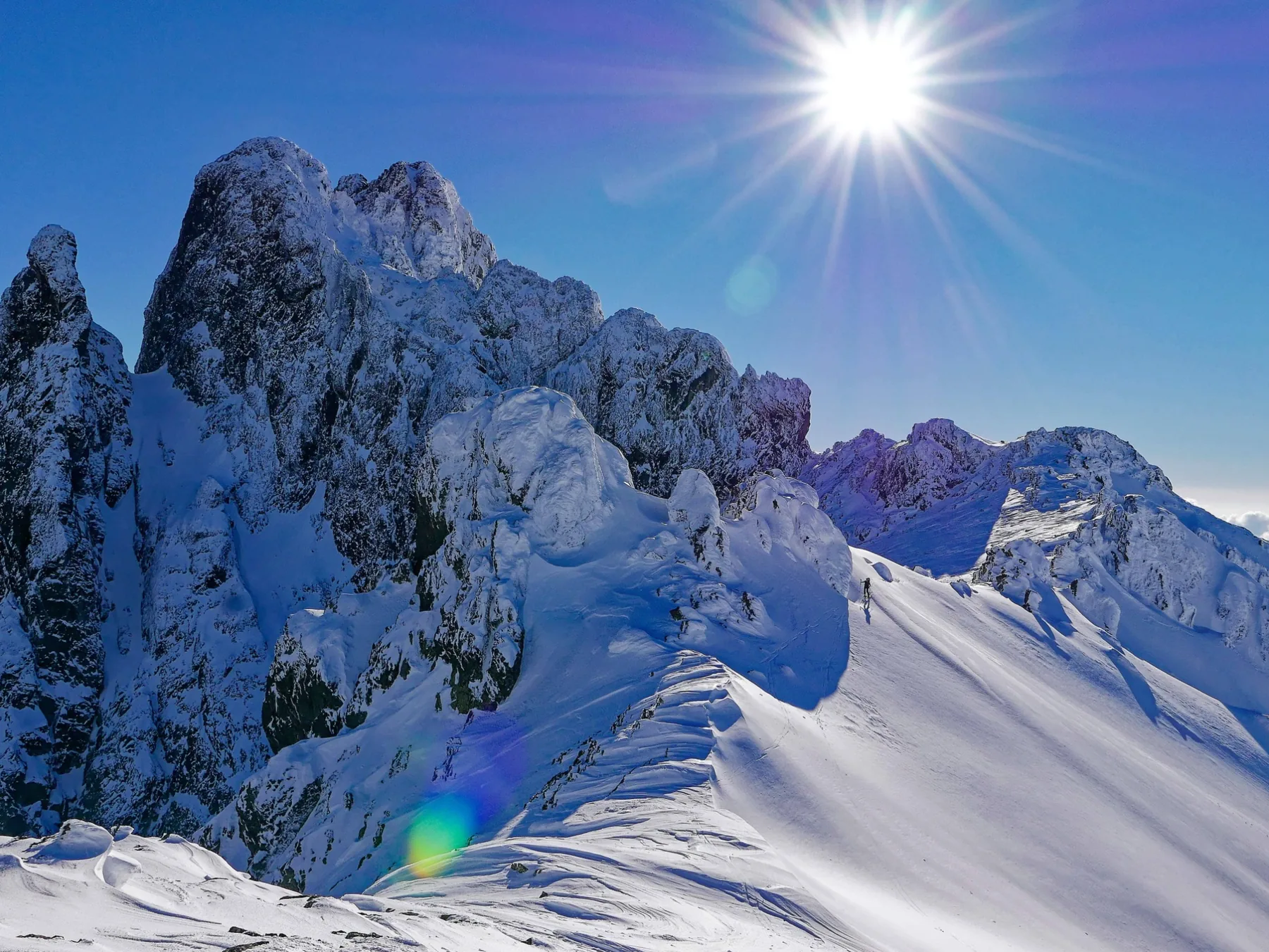
A long winter crossing of the Corsican mountains, from south to north, following the spine of the island. A wild journeying where high plateaus, frozen lakes, laricio pine forests and large granite reliefs alternate. In winter, the mountain finds almost total solitude. Part of the nights are spent in the GR20 huts, unguarded at this time, interspersed with more comfortable nights in hostels accessible via the valleys. A demanding crossing, discovering an island mountain with a unique character.
Information
Itinerary
Crossing from the Ese plateau to the Renoso and Capannelle massif.
Overnight stay · gîte/inn or mountain accommodation in the Capannelle area depending on availability.
14.2 km · D+ 1,394 m · D− 1,332 m
Crossing towards the Vizzavona pass and temporary return to an inhabited valley.
Overnight stay · hotel, lodge or hostel in Vizzavona.
14.3 km · D+ 1,073 m · D− 1,789 m
Immediate return to the high mountains and entry into the central part of the Alta Strada.
Overnight stay · Onda hut, not guarded in winter.
12.5 km · D+ 1,522 m · D− 1,007 m
Overnight stay · Petra Piana hut, not guarded in winter.
7.7 km · D+ 955 m · D− 583 m
Crossing the granite heart of the island, in the great lakes sector.
Overnight stay · Manganu hut, not guarded in winter.
9.4 km · D+ 871 m · D− 1,128 m
Descent towards the Vergio pass to find accommodation accessible by road.
Overnight stay · hotel/hostel in Castel de Vergio depending on winter opening.
15.2 km · D+ 702 m · D− 898 m
Return to the high mountains and crossing the Paglia Orba sector.
Overnight stay · unguarded hut of Tighiettu.
16.7 km · D+ 1,328 m · D− 1,093 m
Last big day in the Cinto massif before the descent to Asco.
End of the raid · accommodation accessible by road in Haut-Asco.
14.9 km · D+ 1,977 m · D− 2,189 m
Plan B
High Atlas
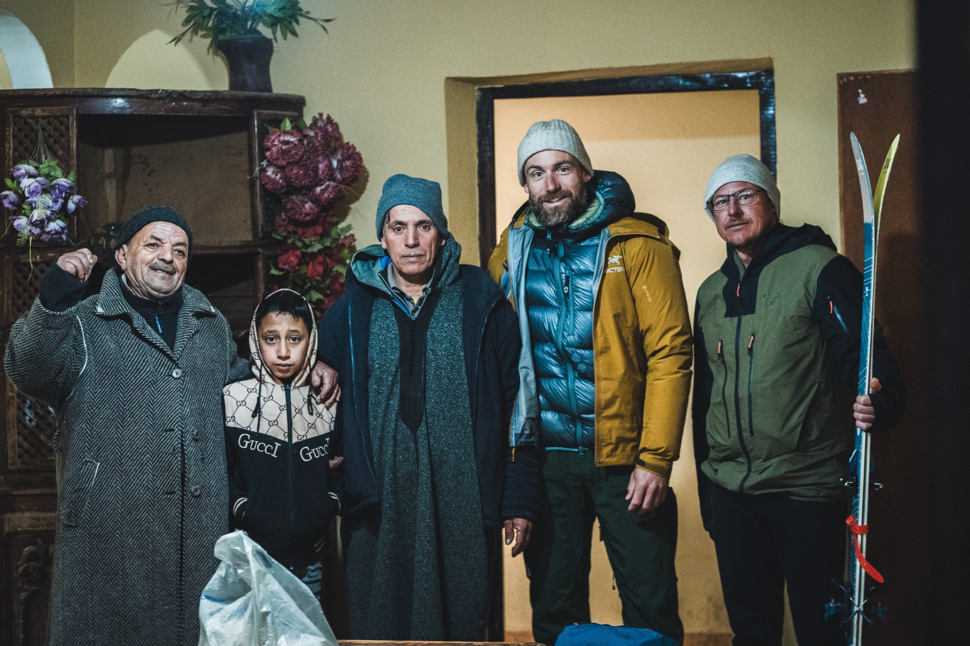
To the east of Toubkal, the M’Goun massif offers another face of the High Atlas. Long ridges exceeding 4,000 metres, high altitude valleys and deeply cut valleys make up particularly interesting terrain for the ski touring. From the Aït Bougmez valley, the route can be organised around several days of crossing, between mountain villages, sheepfolds and high plateaus. Less frequented than the Toubkal, the M’Goun lends itself to an exploratory journey, where the snow cover determines the possible passages and where meetings in the villages occupy an essential place.
Information
Itinerary
Overnight stay · Tagoukht, accommodation to be confirmed.
10.4 km · D+ 1,169 m · D− 1,080 m
Overnight stay · Magdaz, accommodation to be confirmed (a lodge, Dar Megdaz, is listed there in OpenStreetMap).
12.5 km · D+ 1,135 m · D− 1,187 m
Overnight stay · Imi n Ikis, accommodation to be confirmed.
14.3 km · D+ 1,597 m · D− 1,387 m
Overnight stay · to be determined.
End of stage at 2,927 m, with no village on the trail: the night point (azib, hut or bivouac) remains to be determined.
19.0 km · D+ 1,631 m · D− 981 m
Overnight stay · Ikiss, accommodation to be confirmed.
18.6 km · D+ 1,362 m · D− 2,023 m
Overnight stay · Rbat, accommodation to be confirmed.
17.6 km · D+ 1,577 m · D− 1,857 m
End of the raid · Zaouiat Oulmzi, where several lodges are referenced in OpenStreetMap (to be confirmed).
22.8 km · D+ 2,046 m · D− 1,895 m
Cutting from segments of the work trace. The village names are those from OpenStreetMap closest to the end points of the stage (less than 250 m); they remain to be validated on the ground, as do accommodation, shelters, huts and bivouac possibilities. Raw, unsmoothed distances and elevations. A discontinuity of approximately 5 km separates Imi n Ikis (end of D3) and Amezri (beginning of D4): unskied connection or trace to be completed, not counted in the distances.
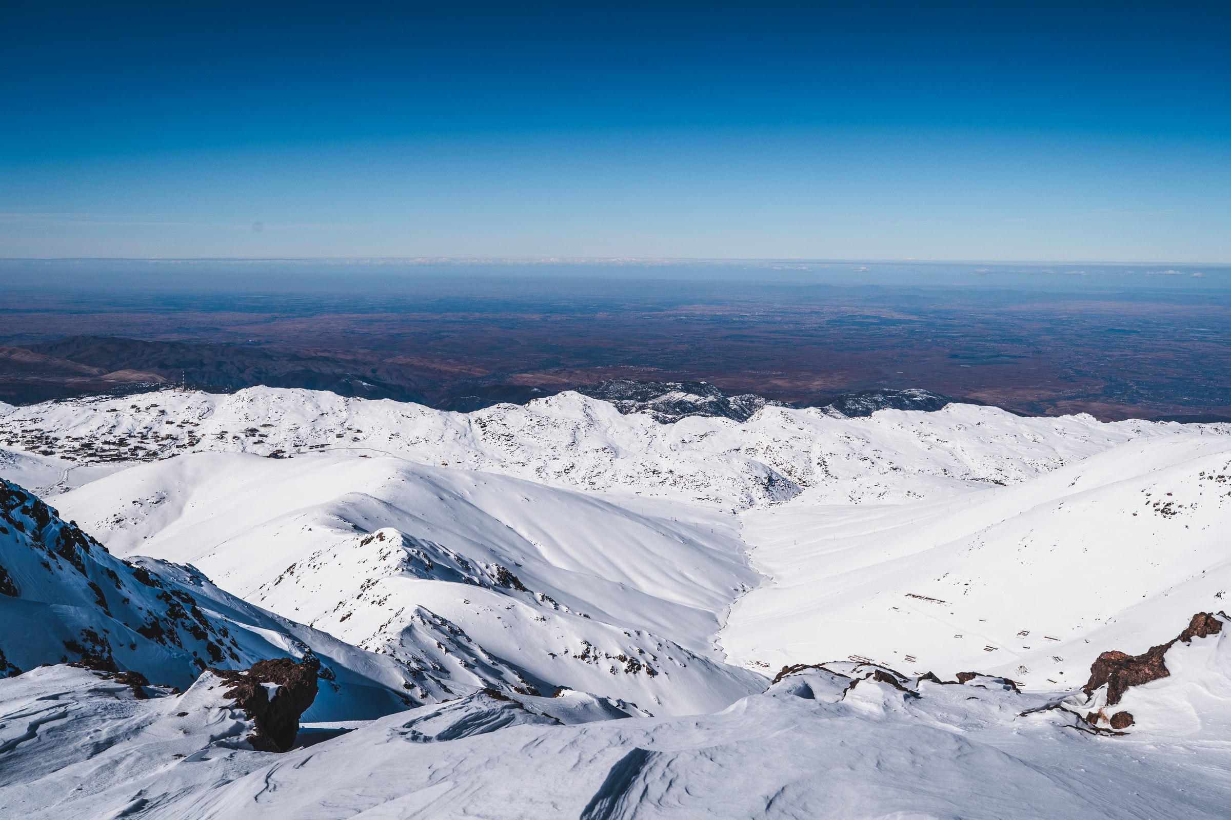
South of Toubkal, the High Atlas mountains take on another dimension. Far from the most popular routes, this crossing connects the high Berber valleys, Lake Ifni and the great passes of the massif. Skiing becomes a way to travel from one village to another, to cross watersheds and to discover an inhabited mountain. The nights are mainly spent in small family lodges, with only one night in bivouac at the heart of the crossing. A multi-day journey where the discovery of the inhabitants and their territory counts as much as the ski descents.
Information
Itinerary
Enter the massif from its southern slope and climb towards Lake Ifni.
Overnight stay · local accommodation / organisation according to conditions.
5.6 km · D+ 1,025 m · D− 1,025 m
First major crossing towards the north.
Overnight stay · bivouac — the only night of bivouac of the entire raid.
10.1 km · D+ 1,380 m · D− 1,345 m
A short intermediate connection of around 2 km, then a long crossing.
Overnight stay · rustic/azib accommodation or organised local solution.
14.4 km · D+ 2,090 m · D− 1,520 m
Crossing a high pass then descent towards one of the highest villages in the massif.
Overnight stay · homestay in Tacheddirt.
≈ 10.0 km · D+ 1,170 m · D− 1,410 m
New crossing from valley to valley via a high pass.
Overnight stay · homestay / guesthouse in Timichi.
9.2 km · D+ 880 m · D− 1,320 m
Last crossing before reaching the Oukaïmeden plateau.
End of the raid · or night in a lodge / inn / guesthouse in Oukaïmeden.
11.5 km · D+ 1,460 m · D− 800 m
Breakdown of work: the names of villages and azibs remain to be verified against the exact coordinates of the route, and the finishing points of the stages must be confirmed.
Plan C
Rila & Pirin
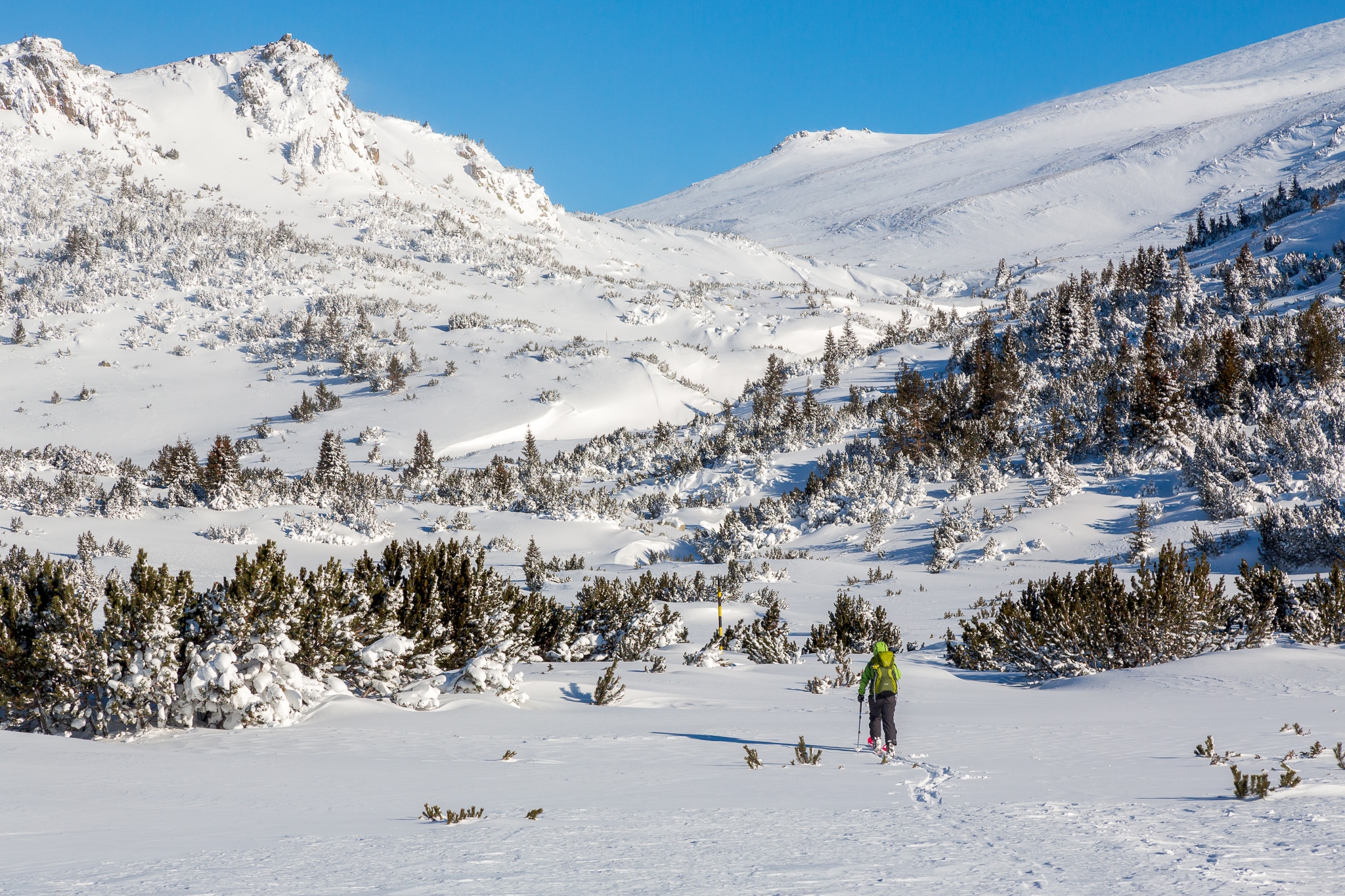
Skiing in the Balkans is an old dream. Of course for the skiing, but also for the atmosphere of these former Eastern Bloc countries. I imagined this trip as a multi-day journey in two stages, through the Rila and Pirin massifs, south of Sofia: the Rila and its vast landscapes of lakes and high plateaus, then the Pirin, more mineral and alpine, with its limestone peaks and ridges. We will sleep in mountain huts, sometimes with Spartan comfort, unguarded cabins and local accommodation. Between the two crossings, a stop in the valley will allow you to discover another side of Bulgaria.
Information
Itinerary
Rila
Haut du télésiège des Sept Lacs, vers 2 100 m
Departure from the upper arrival point of the Seven Lakes of Rila chairlift. First altitude crossing towards Malyovitsa.
Overnight stay · Malyovitsa hut area.
9.5 km · D+ 1,020 m · D− 1,140 m
Du cœur du Rila à la vallée du monastère
Great shift from the heart of the Rila towards the monastery valley: the contrast between the high mountain and the Orthodox monastery is one of the strong points of this crossing.
Overnight stay · in the Rila Monastery area — accommodation currently being selected.
11.1 km · D+ 1,140 m · D− 1,965 m
Ribni Ezera / Fish Lakes
Go up into the Rila from the monastery valley towards the Ribni Ezera hut.
Overnight stay · Ribni Ezera / Fish Lakes hut.
17.9 km · D+ 2,090 m · D− 1,030 m
Dernière traversée du Rila
Last crossing of the Rila before the descent to Semkovo. Road connection between Rila and Pirin.
Overnight stay · organisation of the night and transfer still to be clarified.
10.0 km · D+ 550 m · D− 1,080 m
Road connection between Rila and Pirin
Pirin
Yavorov · Koncheto (passage, sans nuit) · Spano Pole
The big day of the crossing: approach to Yavorov then crossing towards Spano Pole, via the Koncheto sector, crossed without sleeping there.
Overnight stay · Spano Pole (overnight currently planned).
Several night variants are still being studied in Pirin.
19.3 km · D+ 2,535 m · D− 1,625 m
Cœur du Pirin
Crossing the heart of Pirin towards Tevno Ezero.
Overnight stay · Tevno Ezero.
9.4 km · D+ 1,155 m · D− 650 m
Pied du secteur de Bezbog
Last crossing of the Pirin then long descent towards Gotse Delchev, at the foot of the Bezbog sector. The crossing ends at Gotse Delchev Hut / lower station; a road transfer can then reach the valley.
End of the crossing · Gotse Delchev Hut/low station.
15.8 km · D+ 1,165 m · D− 2,200 m
The Rila and the Pirin are connected by a road transfer: no ski connection between Semkovo and the Pirin.
Plan D
Mediterranean massifs · Taurus
The Mediterranean mountains of Türkiye, between Taurus and coastline.
Information
Itinerary currently being prepared: stages, distances and track will be published as soon as they are validated.
Plan E
From Canigou to Ariège
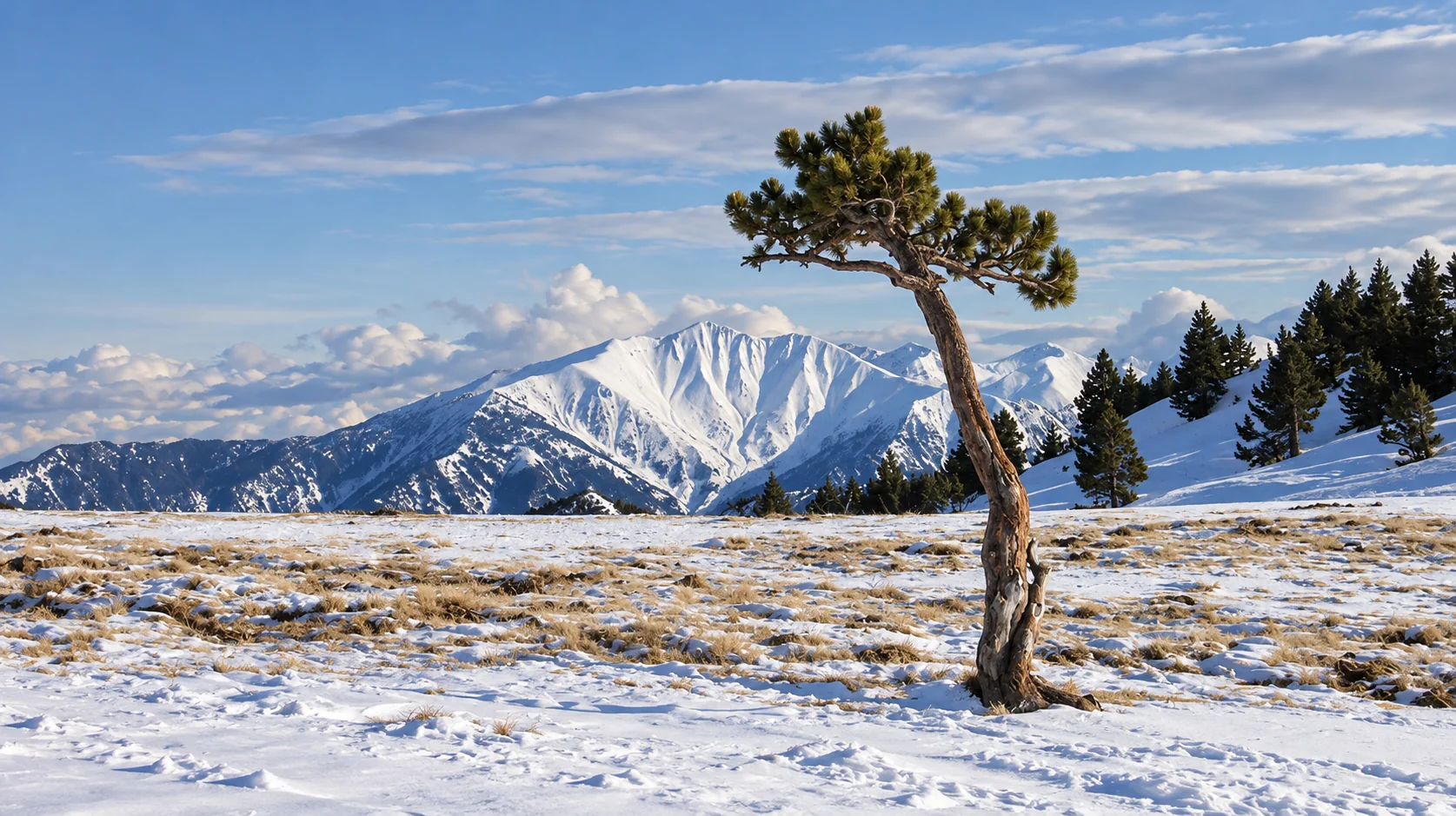
This ski traverse is the first segment of a project to completely cross the Pyrenees, from the Mediterranean to the Atlantic, as close as possible to the watershed, at the rate of one section per winter and over several years. This first section connects the Catalan slopes of Canigou to the high snow-covered valleys of Cerdanya and Ariège, marking the transition between sea and inland mountains. The course alternates mountain skiing, cultural immersion and observation of landscapes: Mediterranean forests, vast high-altitude plateaus, border ridges, frozen lakes and isolated huts.
Information
Itinerary
Meet in Vallespir, at the foot of Canigou, and prepare the equipment.
Overnight stay · hotel or gîte in Arles-sur-Tech.
Transfer to the Batère hut, then climb the Cirera pass and cross the Ras de Prat Cabrera: forests, slopes of the Canigou and views of the Mediterranean.
Overnight stay · Cortalets sector.
Accommodation to be confirmed: for the winter of 2026-2027, the Cortalets winter annex is announced closed due to work. The exact solution will have to be adapted.
15.7 km · D+ 1,470 m · D− 710 m
Pic Joffre, Canigou (2,784 m), Arago hut and Puig Roja: the great crossing of the massif.
Overnight stay · unguarded hut of Pla Guillem, with around 20 places with wood stove.
12.6 km · D+ 1,210 m · D− 1,090 m
Roca Colom, Portella de Mantet, then descent towards Spanish Catalonia. Ascent of Costabona possible depending on conditions.
Overnight stay · Ulldeter hut, guarded with catering when open. Apart from security, a small emergency room is available.
16.5 km · D+ 720 m · D− 780 m
Border ridges via the Pics de la Vaca and the Pic de les Nou Fonts sector, then descent via the Eyne valley towards Cerdanya.
Overnight stay · hotel, lodge or inn in the valley.
25.8 km · D+ 970 m · D− 1,550 m
Capcir highlands via the Bouillouses, then passage to the Coll de Coma d’Anyell: major high mountain stage between Cerdagne and Ariège.
Overnight stay · Bésines winter hut, with winter space: beds, blankets, water, cooking equipment and heating.
28.7 km · D+ 1,660 m · D− 1,230 m
Last descent to the Ariège valley.
End of the raid · L’Hospitalet-près-l’Andorre, with train station.
6.5 km · D+ 190 m · D− 710 m
The next segments of the complete crossing (Cerdagne, Encantats, Maladeta, Ossau, Basque Country) are in the state of preparation notes: none has been stopped.
Indicative routes. The progress of the stages may change depending on snow cover, snow and weather conditions and the opening of accommodation.
How a journey begins
I love snow because it is uncertain and can surprise us. I love it when it starts falling where we do not expect it, or when we do not expect it.
Some time ago, that gave me the idea of organising a trip in mid-December, keeping the destination undecided until the last moment so we could enjoy the first snow. Perhaps one day it will become ‘Father Snow’s surprise’.
At the start of winter 2026, the Mediterranean countries experienced that double alchemy of cold and successive low-pressure systems. At the last minute, I rearranged my schedule and proposed a trip to Morocco.
We left Geneva in the middle of the night and, by midday, were eating a tagine in the streets of Imlil, the gateway to Toubkal. It had snowed for two days, and that morning the atmosphere was unreal. As the whole journey would be, in a country where snow is rare!
I want to ski in these countries again, but planning conventional trips — a date, a route — is impossible.
So, instead of organising Father Snow’s surprise this year, I am trying the Ski Med surprise.
One date, but 10 possible destinations, with the choice made one or two weeks before departure.
Corsica, the Pyrénées-Orientales, Asturias in Spain, Morocco, Abruzzo in Italy, Crete in Greece, Bulgaria and Turkey. Not forgetting Algeria, if diplomacy eases one day and visas disappear, and Lebanon, if the war ends for good.
For this year, five routes are prepared:
Plan A: Corsica
Plan B: Morocco
Plan C: Bulgaria
Plan D: Turkey
Plan E: eastern Pyrenees
Selected destination, detailed programme, precise price and travel conditions.
Be informed of the destinationLES GRANDS RAIDS À SKI